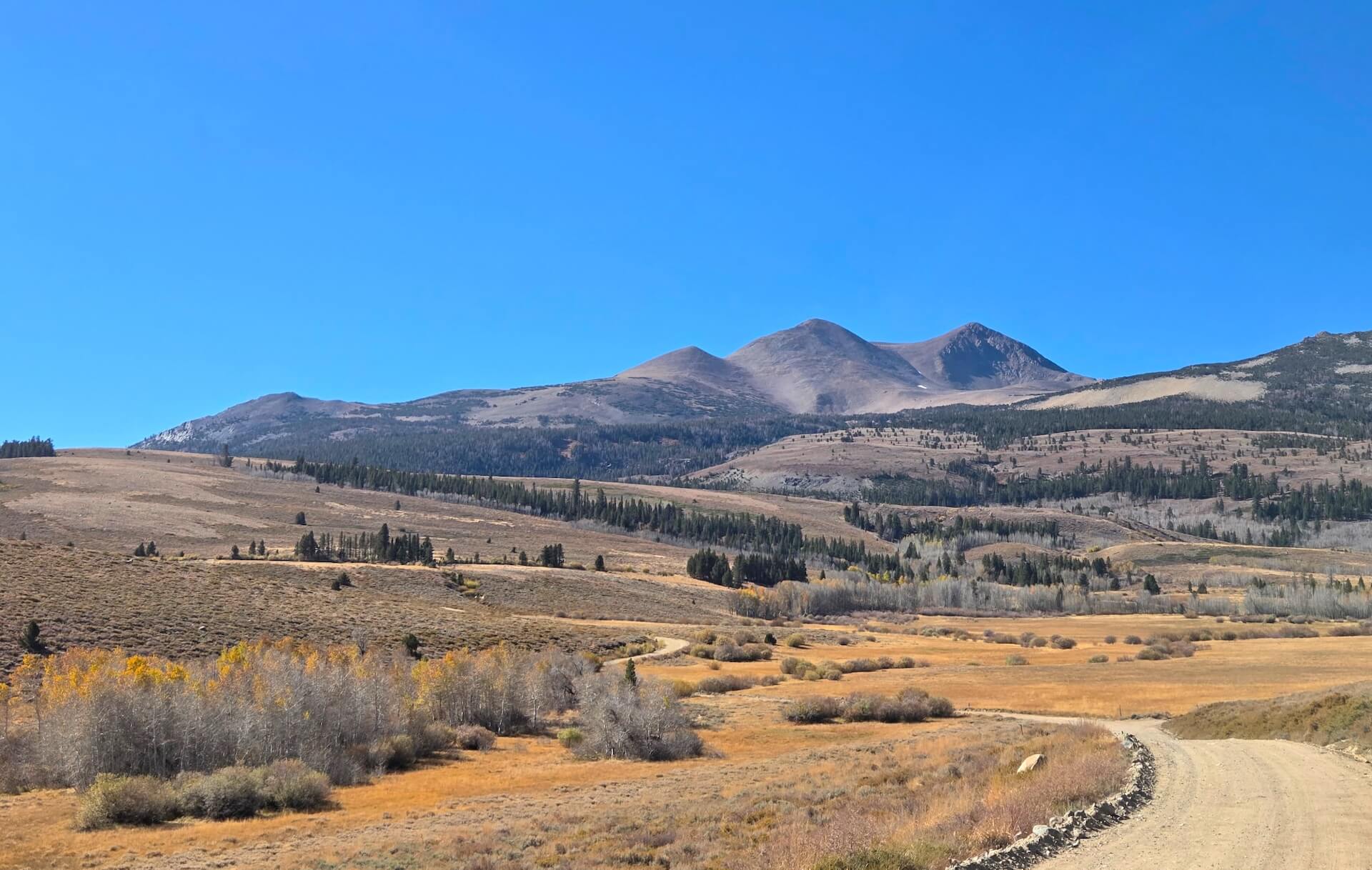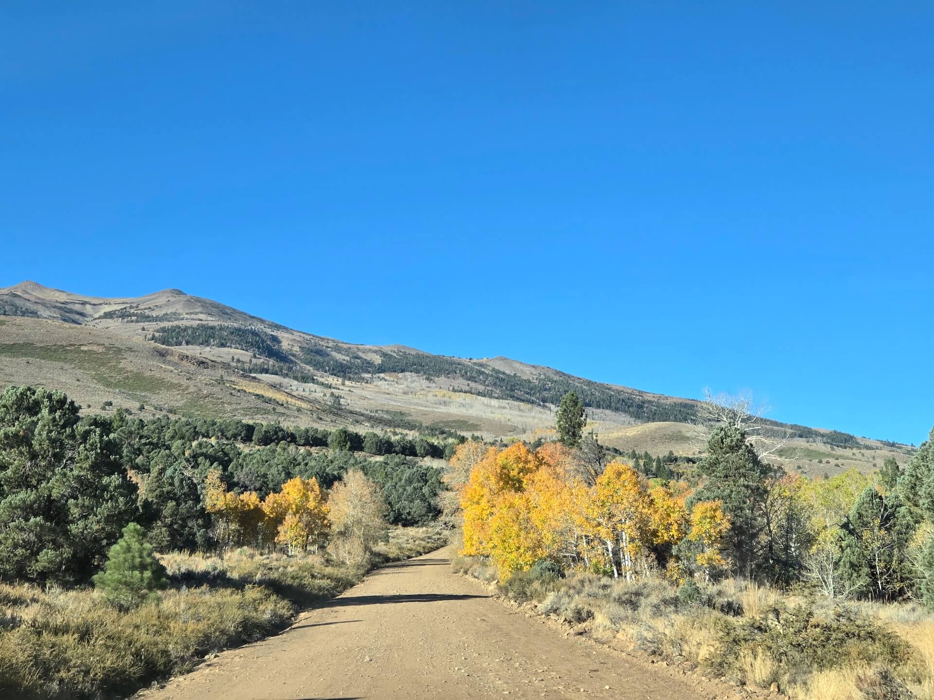
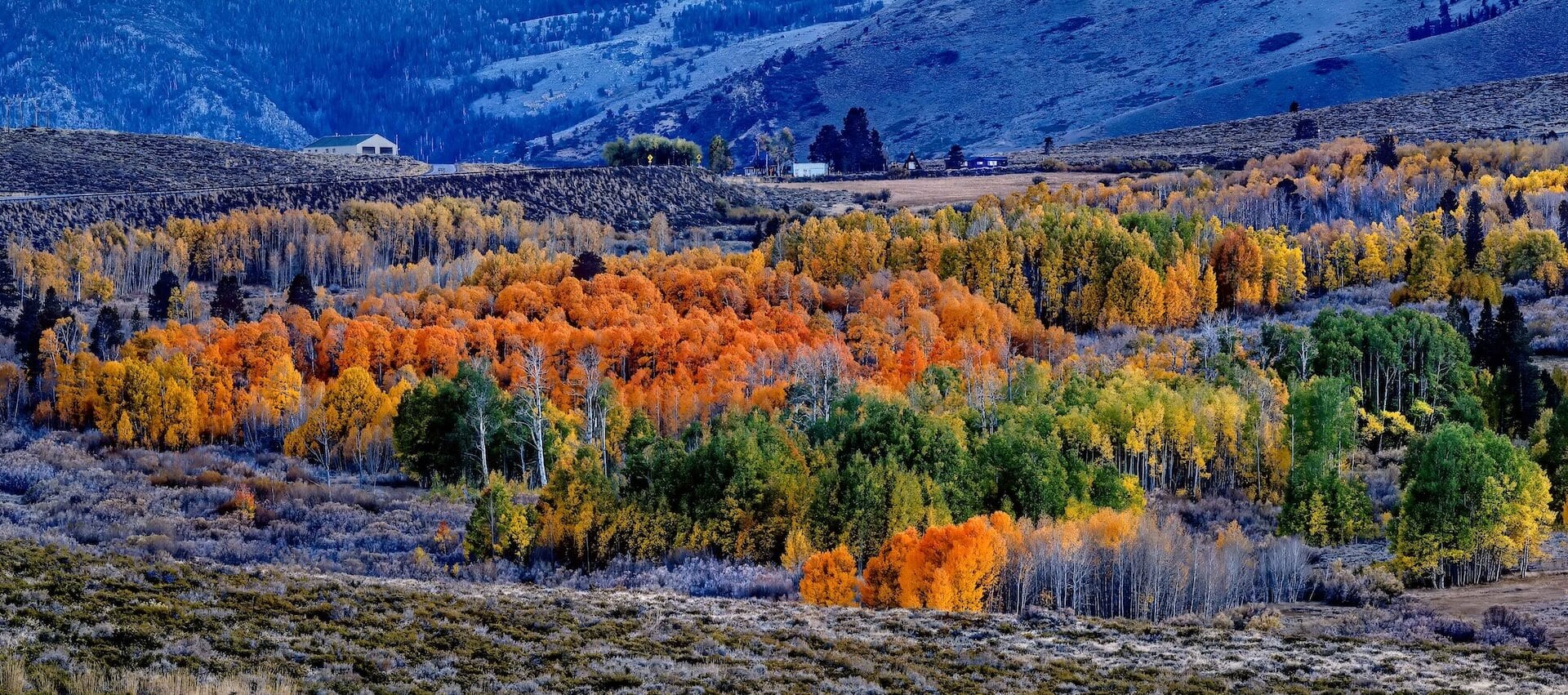
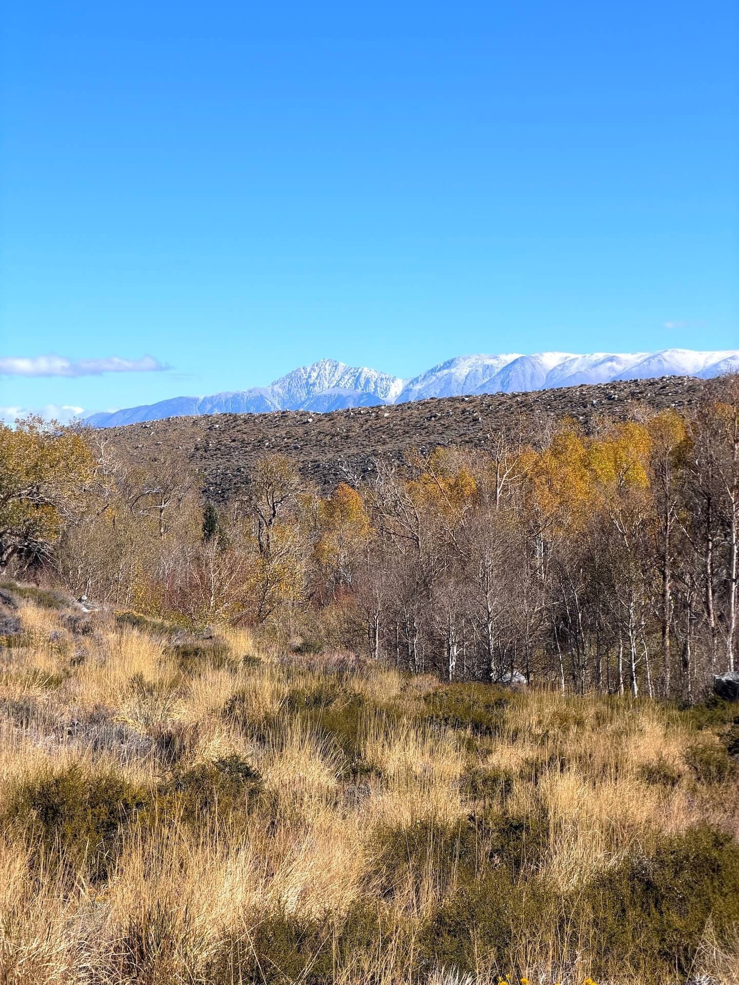
Last week’s storm didn’t quite track as Mono County expected, but it still brought cooler temperatures, breezy conditions, and even a dusting of snow at the highest elevations.
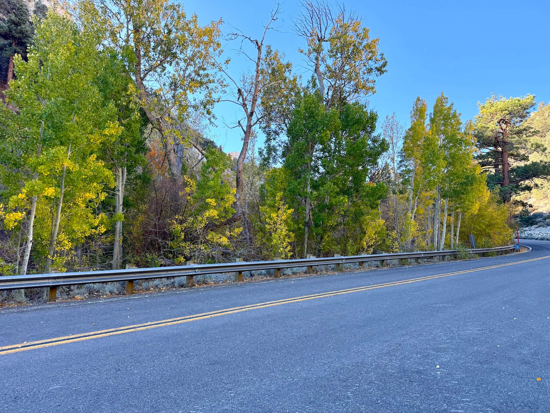
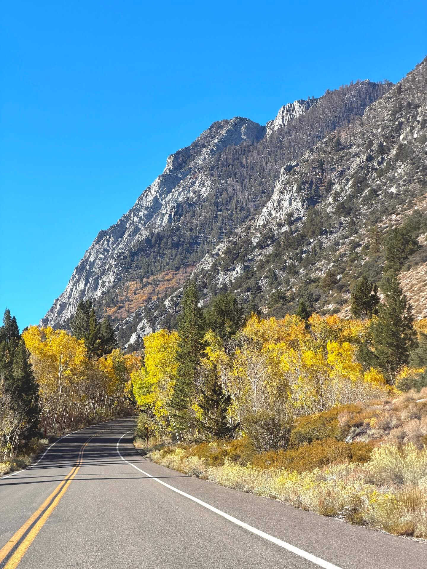
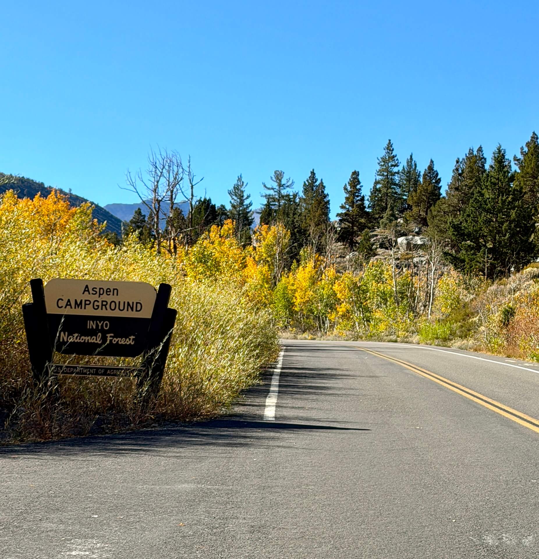
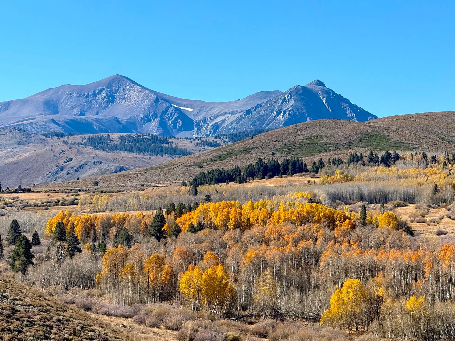
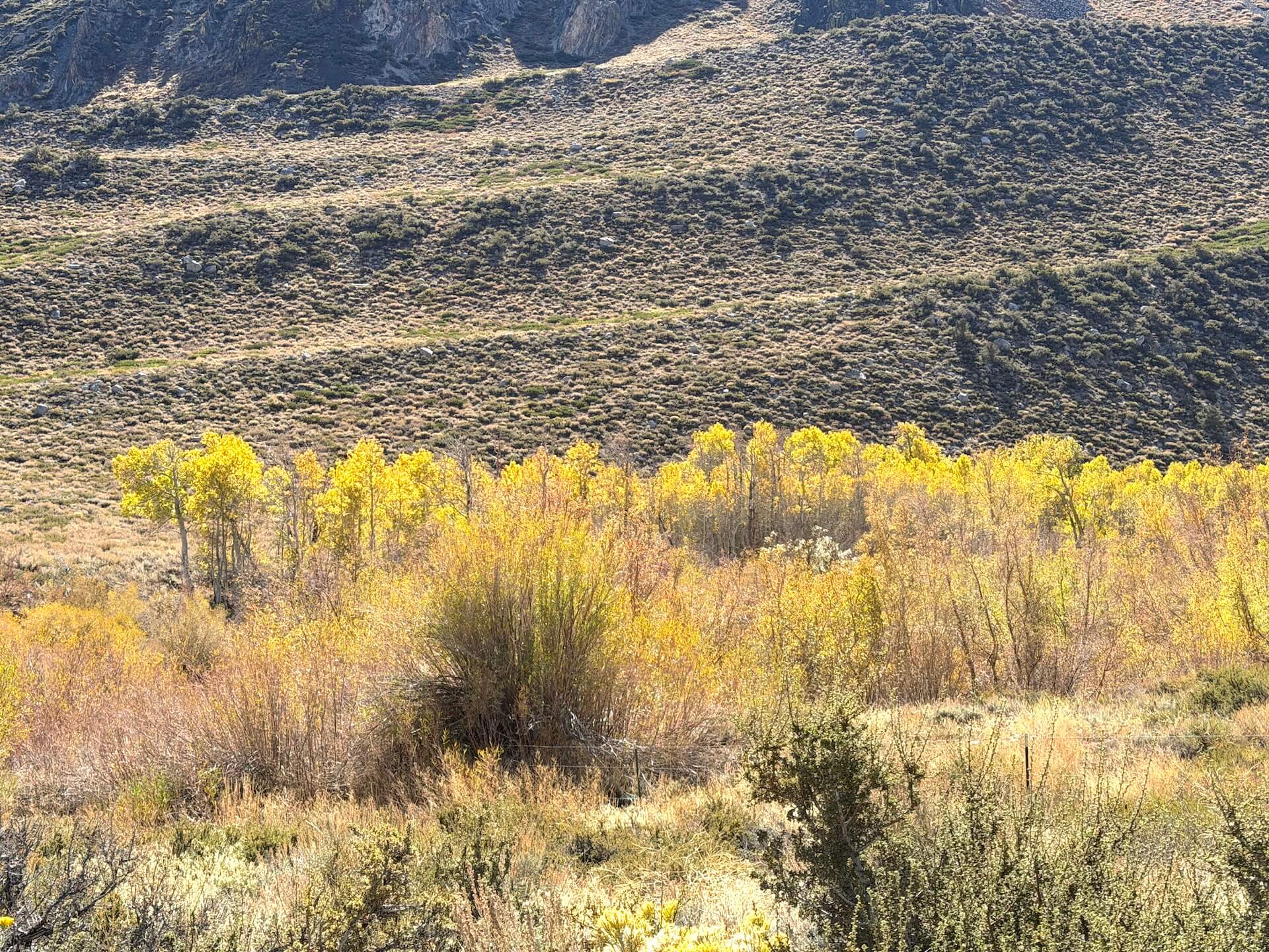
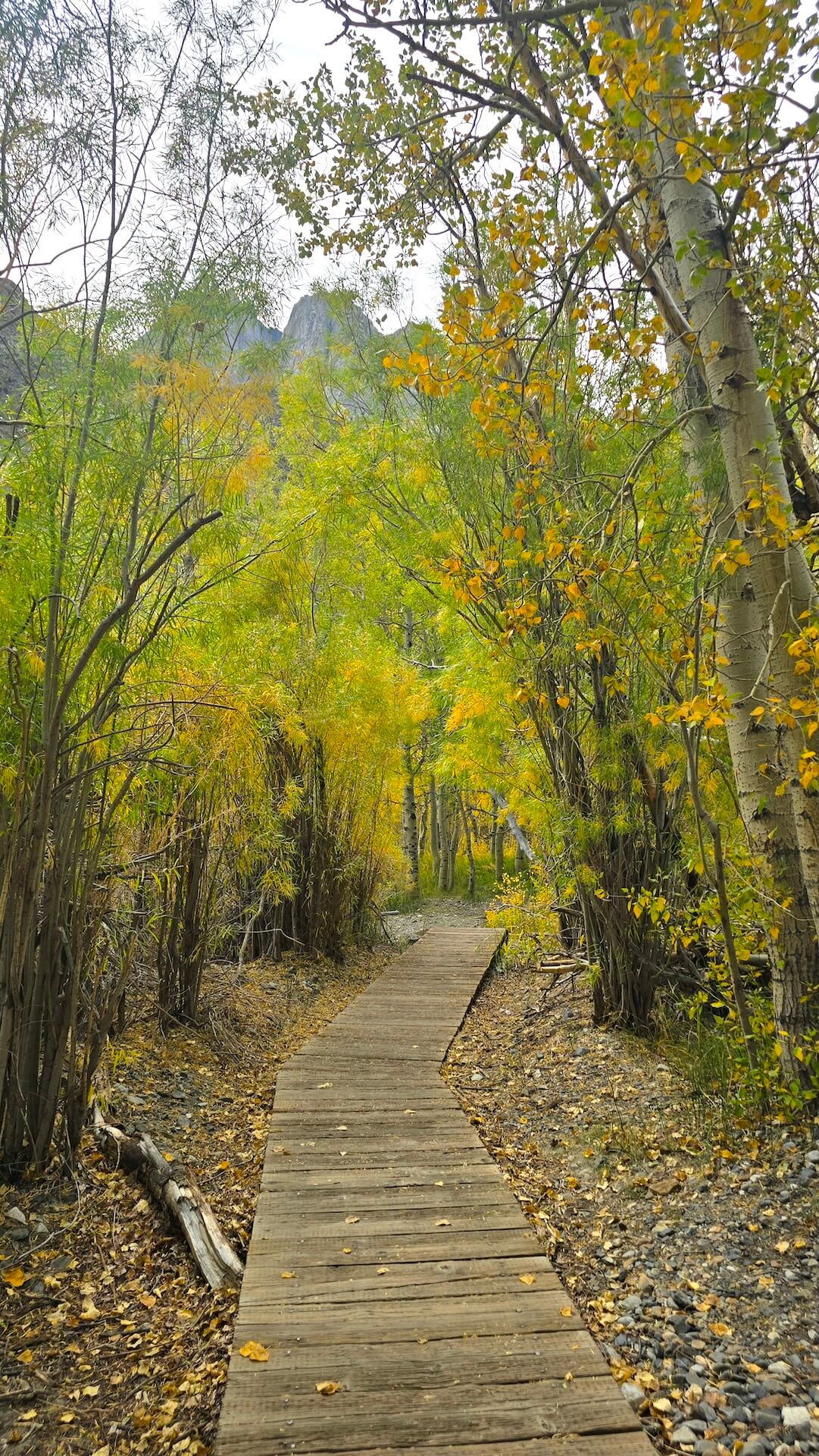
One thing stood out in the area this week: the unusual contrast across the landscape. Bare trees standing right next to others that are still bright green, with every shade of yellow and gold in between. It’s not quite the typical progression, but it makes for some interesting surprises out there! So, while the wind took its toll in some places, there is still plenty of color to find. With a pleasant forecast ahead, don’t give up on your fall color trip just yet!
June Lake Loop, Lee Vining Canyon, and Convict Lake are all great places to explore this weekend.
McGee Creek is showing a similar mix – some leaves gone, some color remaining and leaning more toward yellow. There may not be much change left, but the colors are still worth enjoying while they last.
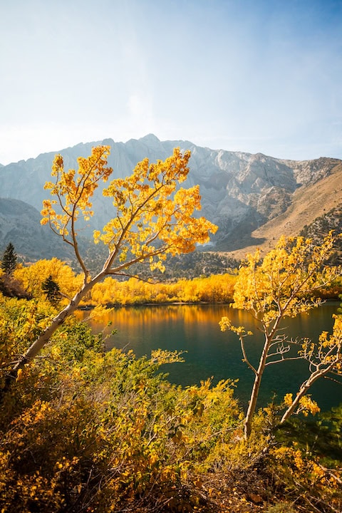
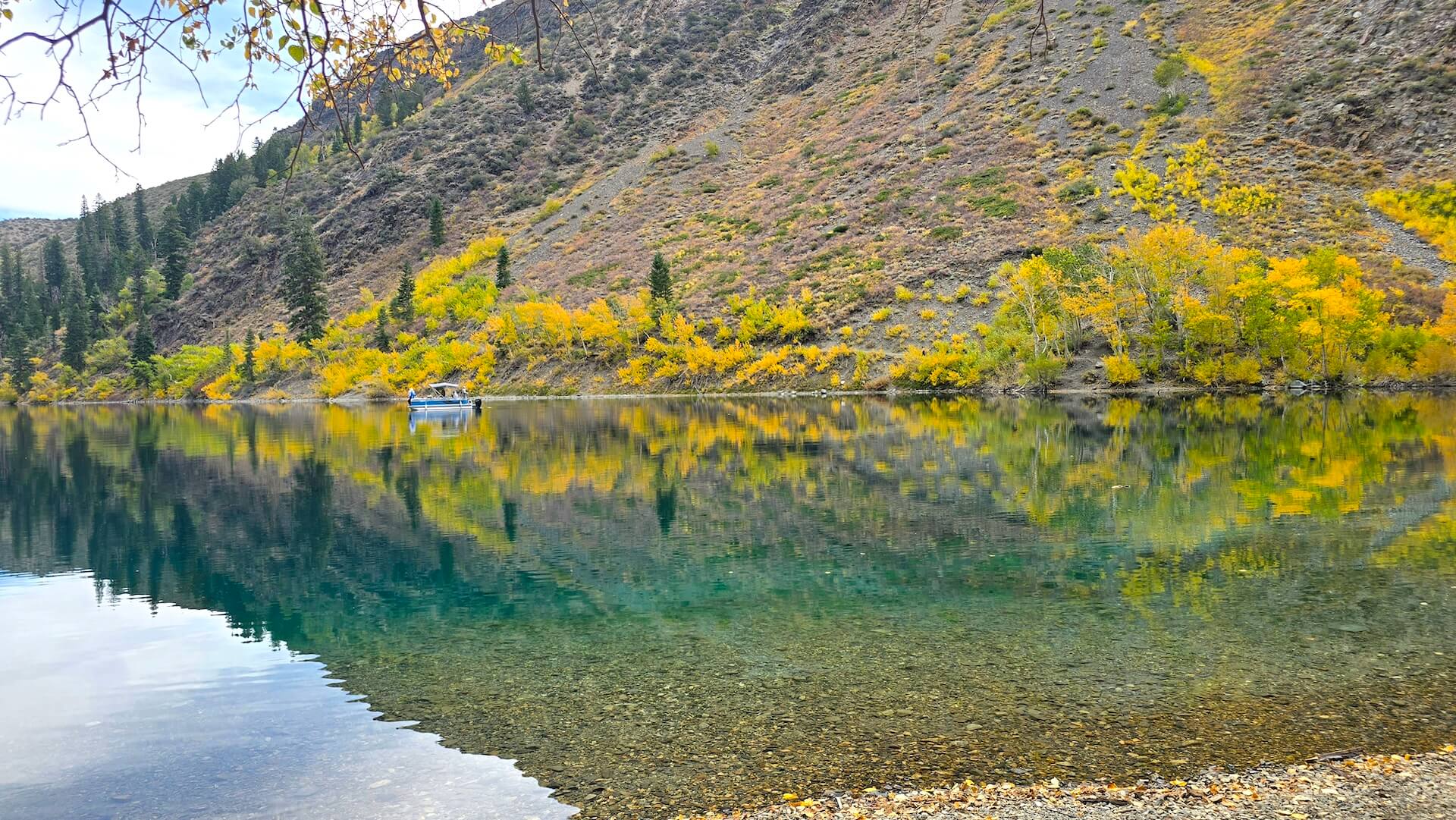
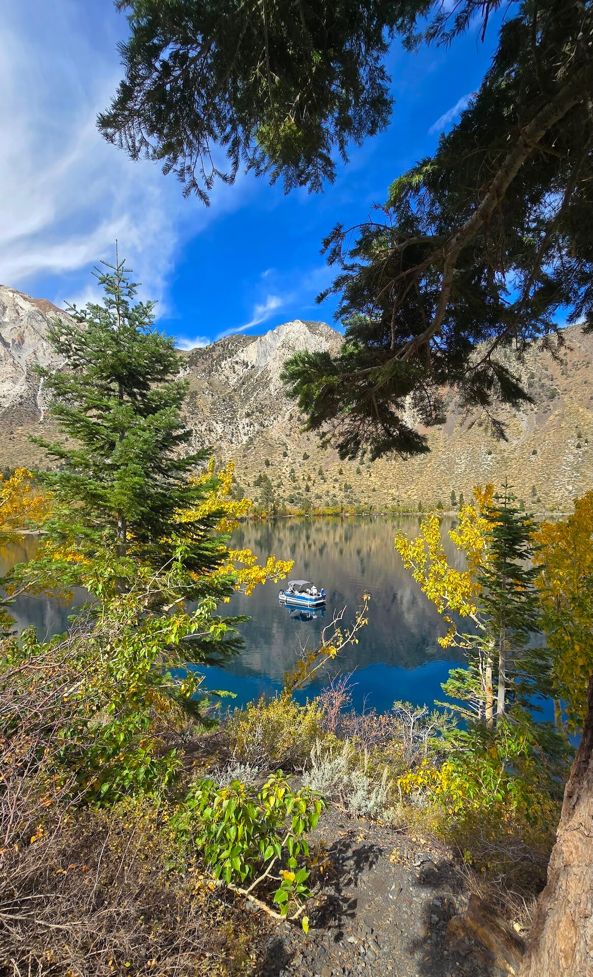
Same goes for Convict Lake. The main grove at the back of the lake has lost its leaves, but the cottonwoods at the other end of the beach are still green. Plenty of yellow remains around the lake, the Resort, and the campground, making for a beautiful mix of fall color.
As the Eastern Sierra moves closer to winter, mountain weather can change quickly, especially at higher elevations. Conditions are looking good for the coming weekend, but it’s always smart to check the forecast before heading out, pack layers, and bring a warm jacket for chilly mornings and evenings. If you’re traveling over the passes or exploring dirt roads, a little extra preparation goes a long way.
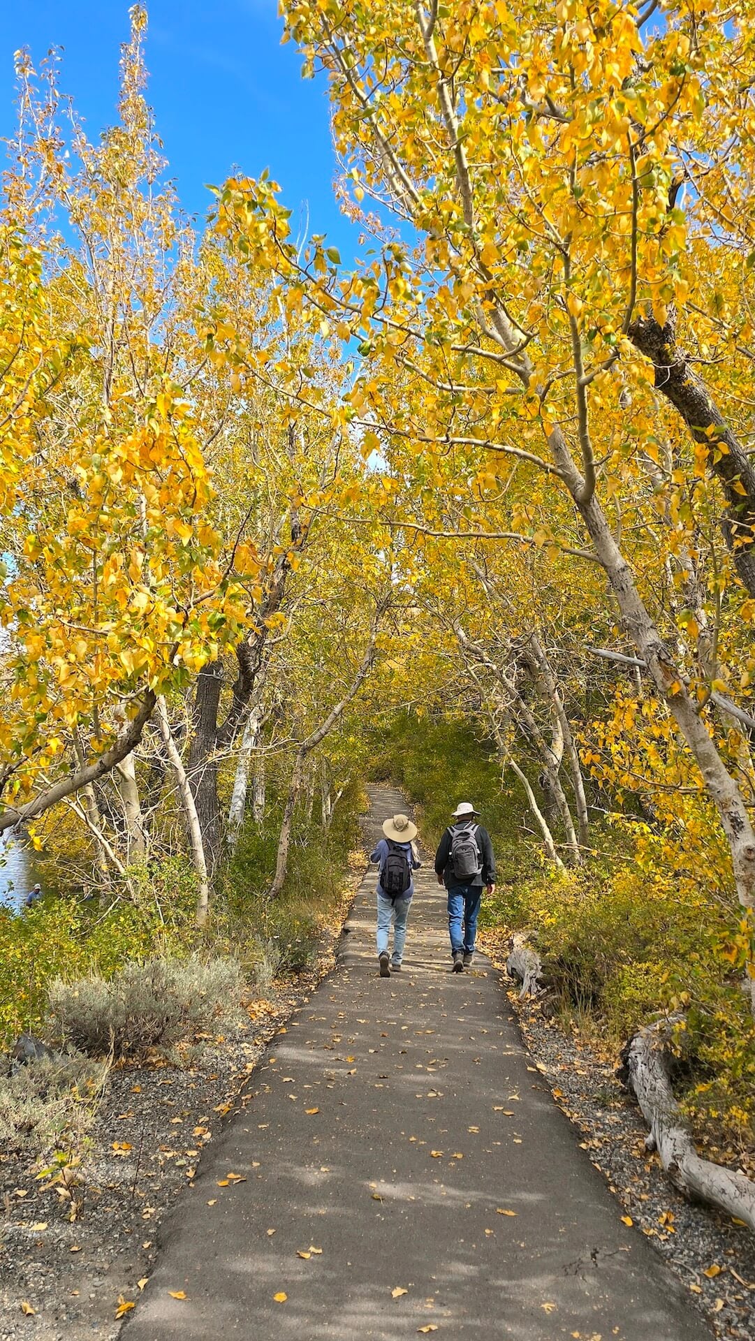
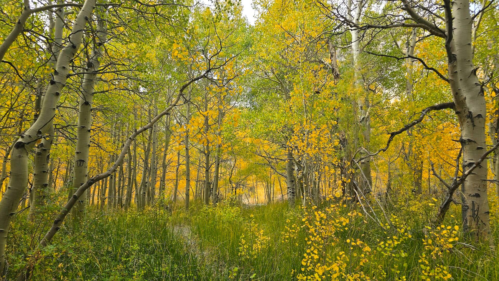
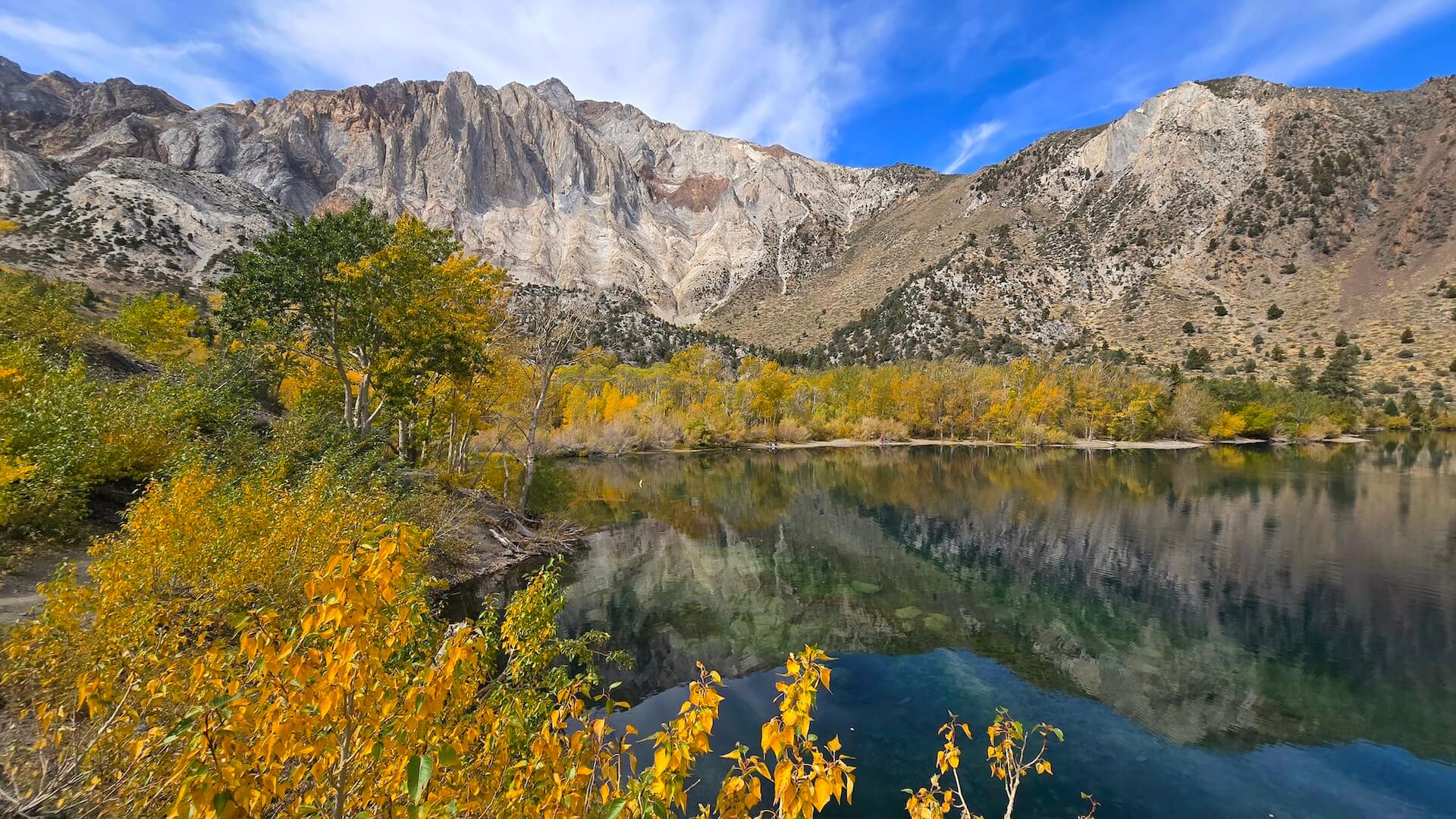
Locations from north to south:
WALKER / COLEVILLE / TOPAZ
West Walker River, Walker, Coleville and Topaz (5,200′) 50-75% Near Peak (Go Now.).
Lobdell Lake Road (9,274′) – Past Peak (You Missed It).
Monitor Pass (8,314′) – Past Peak (You Missed It).
Sonora Pass (9,623′) – Past Peak (You Missed It).
Please Note: Lobdell Lake Road is in rough shape, and we do not advise driving past the recommended turnaround spot (see map). Up to that point, you’ll enjoy big, beautiful views and have a safe place to turn around. Beyond, expect severe washouts, water crossings, deep ruts, and rough terrain—not worth it, especially since the lake itself is a low reservoir. Burcham Flat Road (county-maintained) is generally well-graded but does show some wear and tear. Best access is from the south end via US 395 (just south of Sonora Pass), though a loop can be made with East Side Lane in Walker. Keep in mind that cell service is spotty to nonexistent, and a tow would be extremely expensive.
BRIDGEPORT / VIRGINIA LAKES
Twin Lakes (7,000′) – 75-100% Peak (GO NOW!). Like other locations, some groves around the lake took a beating from the wind but many held on leaving color to be found around the lake.
Summers Meadow (7,200′) – Past Peak (You Missed It). Summers meadow fared better than most of the other dirt road areas in the Bridgeport area. While past the peak, there is still some beautiful color to be found. Including green which means some surprise pockets will continue.
Green Creek – Past Peak (You Missed It). Another place to find a last minute pocket of fall.
Dunderberg Meadow – Past Peak (You Missed It).
Conway Summit (8,143) – 75-100% Peak (GO NOW!). Conway Summit doesn’t have a lot of protection from the wind, but enough of the trees were early enough in their change that they were able to hold on, meaning there is still a little more color to catch at this location but only until the next big wind storm.
Virginia Lakes (9,819’) – Past Peak (You Missed It). Some light color continues to pop around the road near Highway 395 but most of the area has gone into winter mode.
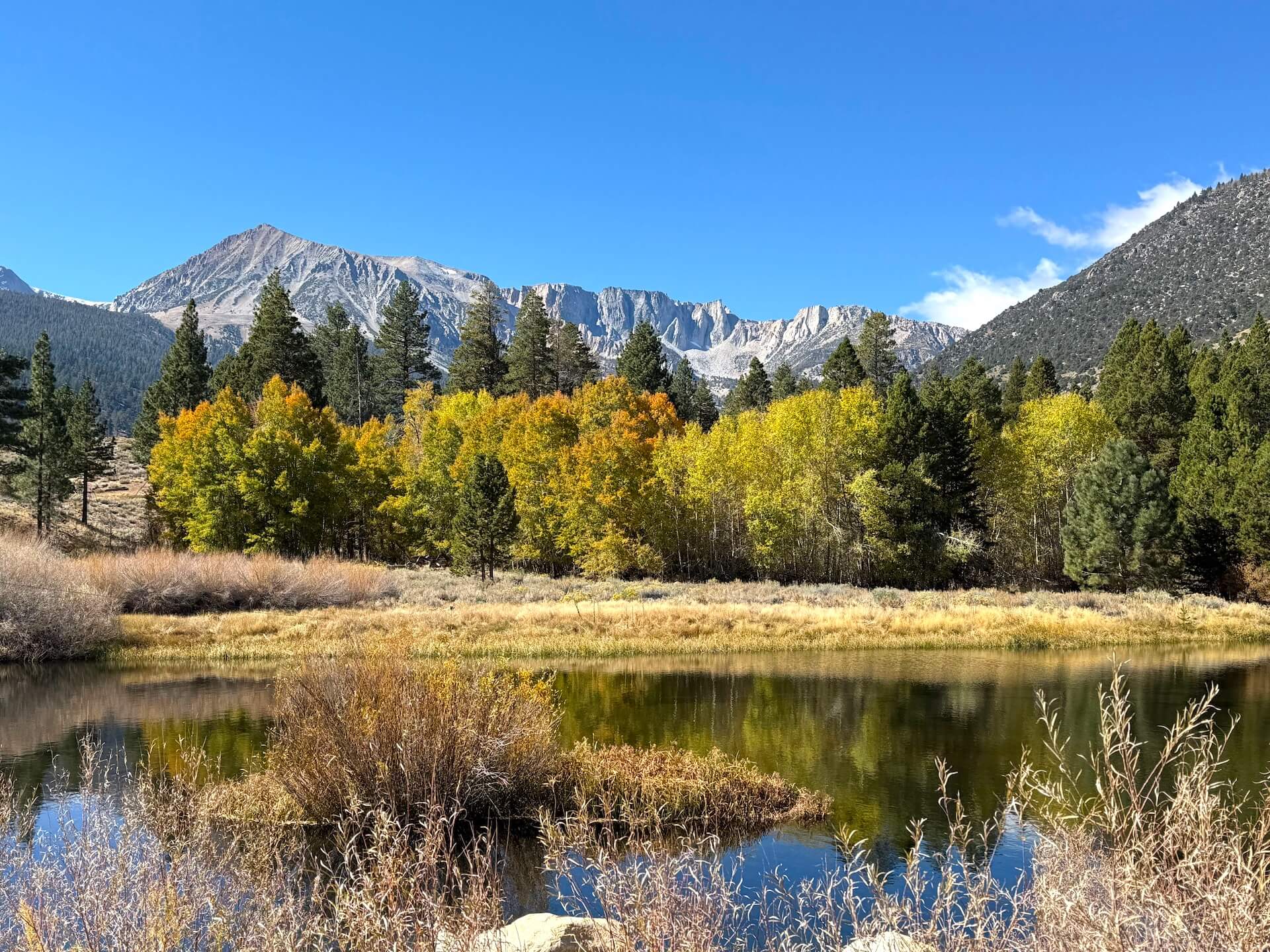
LEE VINING
Tioga Pass (9,943′) – Past Peak (You Missed It).
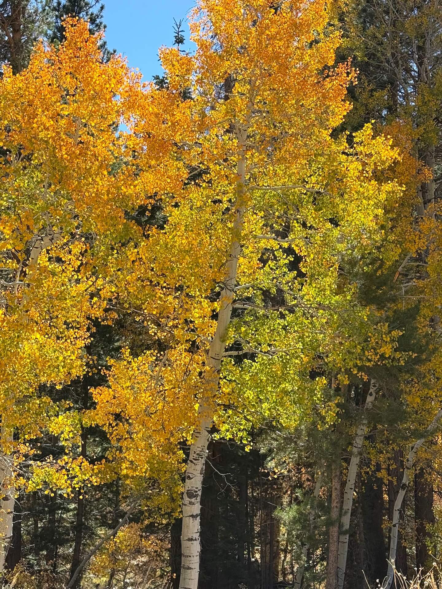
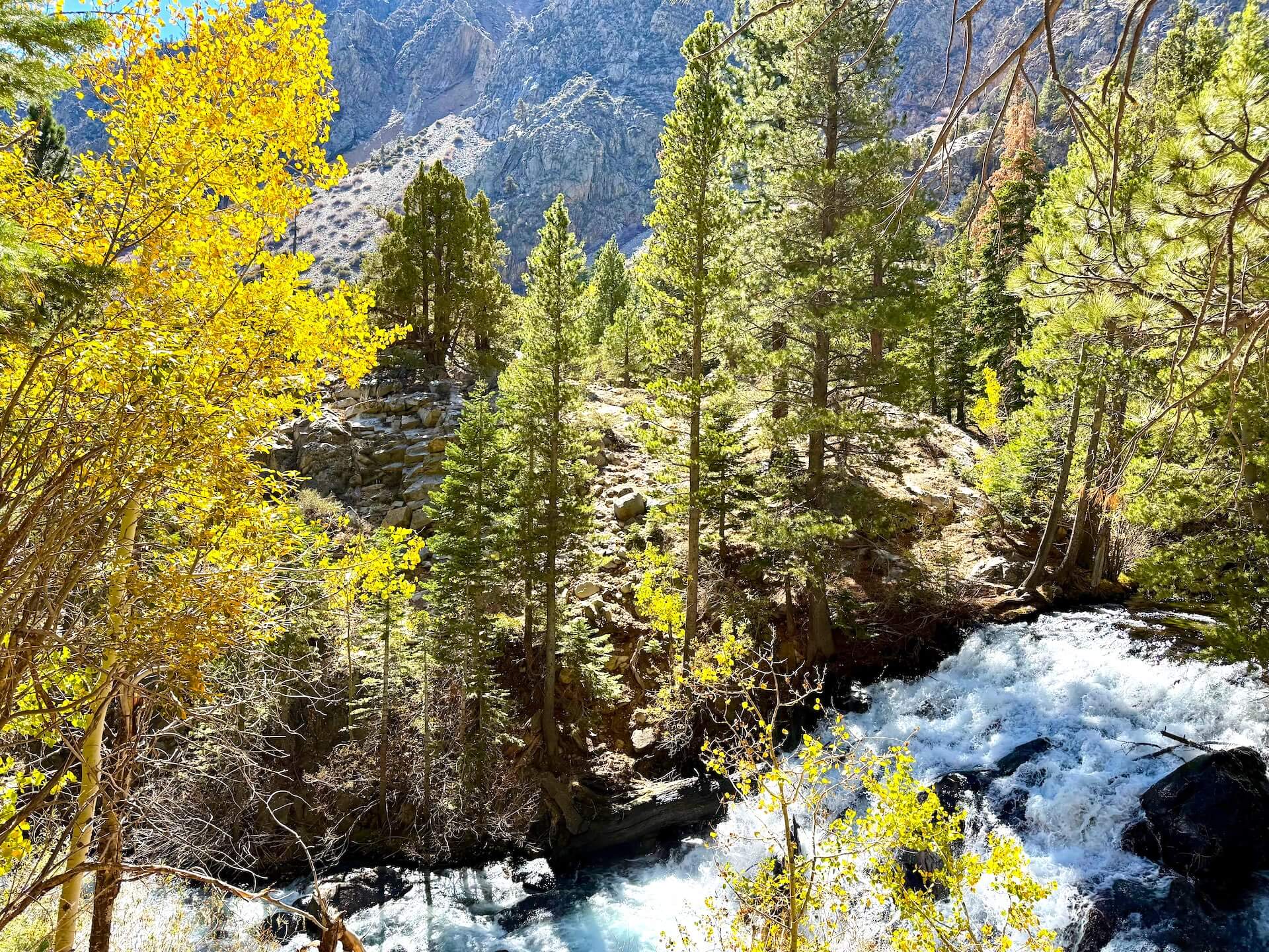
Lee Vining Canyon (6,781′) – 50-75% Near Peak (Go Now.). This narrow canyon benefited from a bit of wind protection this last weekend and its color evolution continues. The colder temps may mean it moves quicker than it has over the last week but only Mother Nature really knows.
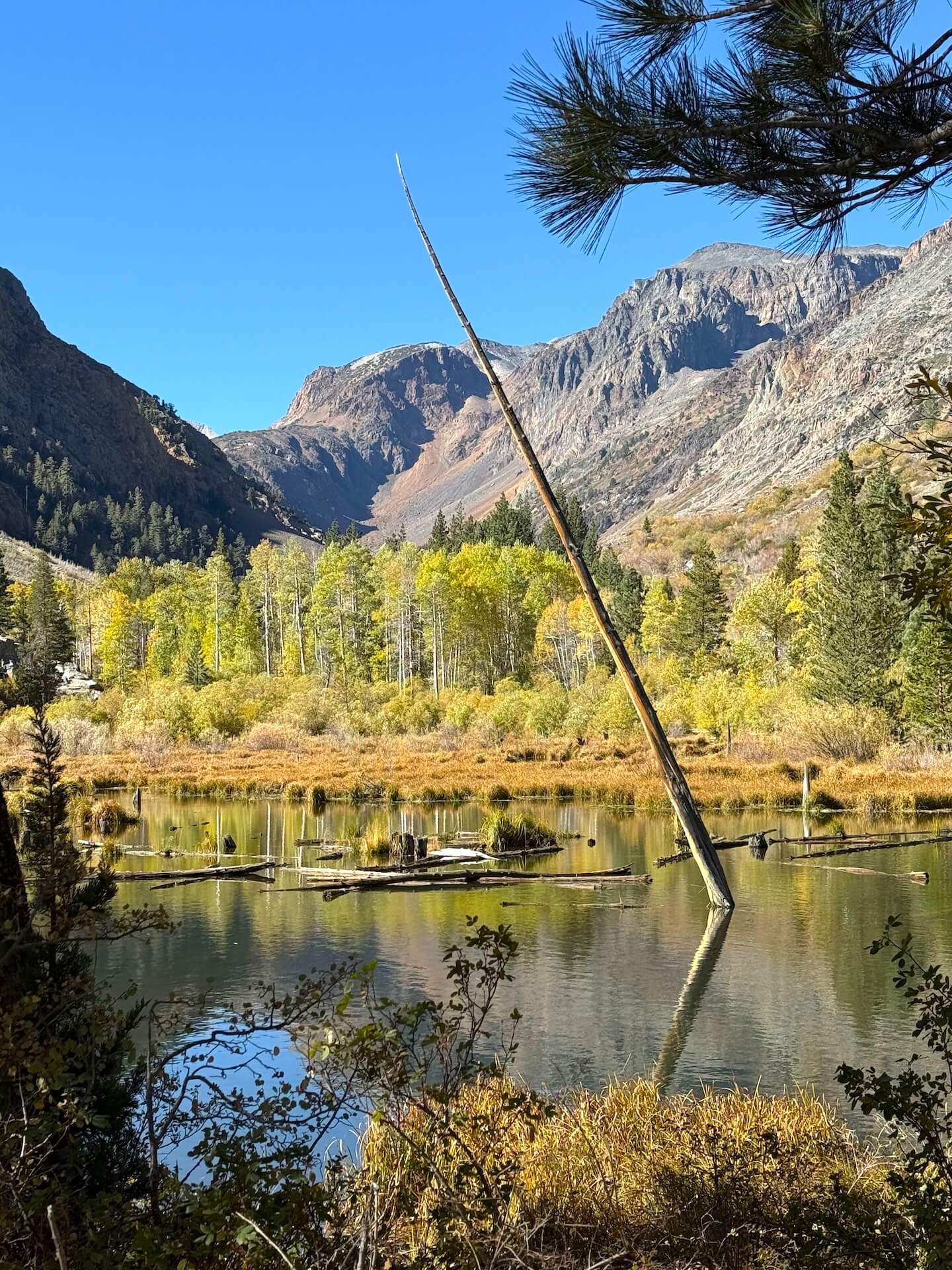
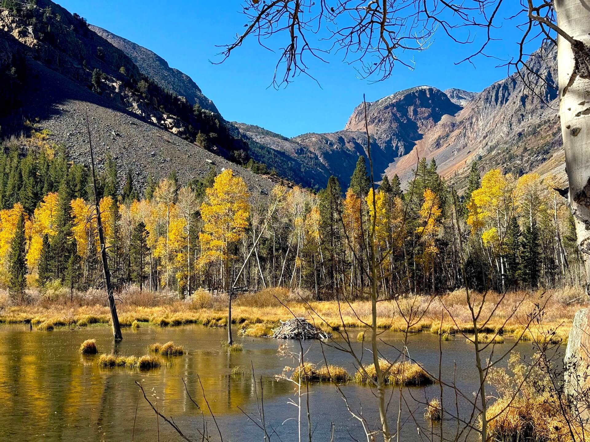
Lundy Canyon (7,858′) – 75-100% Peak (GO NOW!). We are specifically choosing not to move Lundy Canyon into the past peak category because of all the color we saw when we started hiking up the trail. Don’t get us wrong, there was a lot more color here last week, but even the last beaver pond still has a lot of color left. Don’t skip it.
Lundy Lake – 75-100% Peak (GO NOW!). If you didn’t go last weekend, then you need to go this weekend. Fall in this canyon isn’t completely over yet.
BENTON & 120 EAST
Sagehen Summit (8,139’) – Past Peak (You Missed It). The leaves have said goodbye for this year but adventuring in the Glass Mountains is still in. If you are in the area you might find a surprise pocket or two.
Please Note: Sagehen Summit is a remote area accessed via dirt road with no cell service or facilities. Stop at a visitor center in Lee Vining before heading out, and bring plenty of gas and water. Wildlife is abundant here, so drive slowly, pack out all trash, and use designated parking or pullouts (never stop in the road). Enjoy the colors on foot and watch for cars and OHV riders.
JUNE LAKE LOOP
See our report here.
CONVICT LAKE/MCGEE CREEK
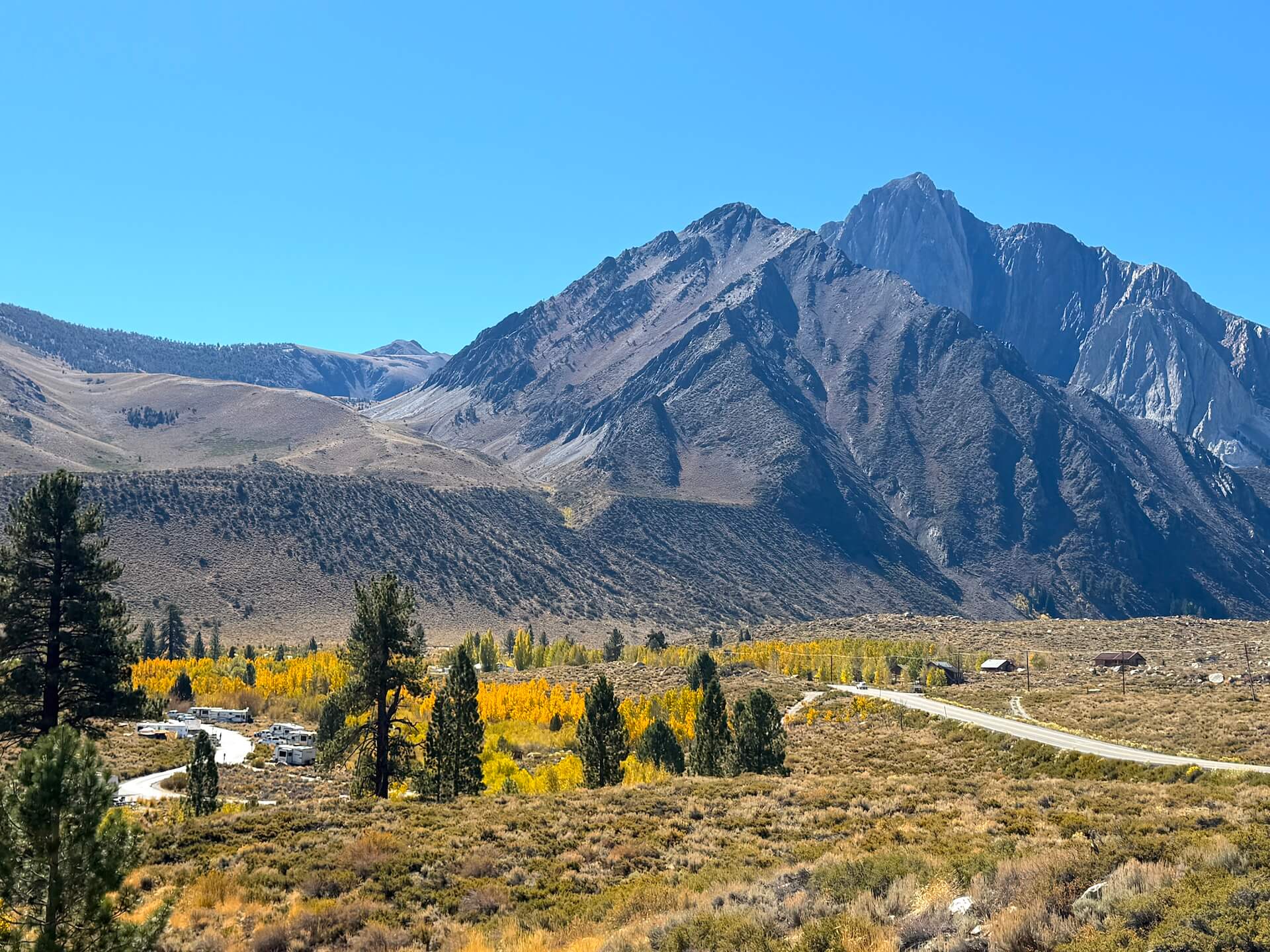
Convict Lake (7,850′) – 75-100% Peak (GO NOW!). The picturesque grove at the back of the lake you see so frequently in pictures is completely stripped. But there is still some green and color at the front of the lake. Plus the Resort and campground held onto their color and remain open.
McGee Creek Canyon (8,600’) – 75-100% Peak (GO NOW!). Likely the last call at McGee. The trail up McGee Canyon is done and while the wind has taken away some color you will still find color at the tail end of its fall journey. Leading up to the hike there are still pockets of beautiful display along the road.
ROCK CREEK CANYON
Rock Creek Road (9,600’) – Past Peak (You Missed It). While you will still find color on the lower portion of the road – Big Meadow Campground and down – this area has said goodbye for another year.
Lower Rock Creek Road – 50-75% Near Peak (Go Now.). The trail down the canyon through Swall and Paradise is hitting its stride right now. It’s a great place for a hike, bike or run.