Skip to content
Menu
Menu
Posts
Map
Trip Planning
Submit a Report
About
About Us
What They’re Saying
Contact
Fall Color Report
Categories
Locations
Fall Color Report
Hike of the Week
Drive of the Week
Peak of the Week
Posts by Month
November 19, 2022
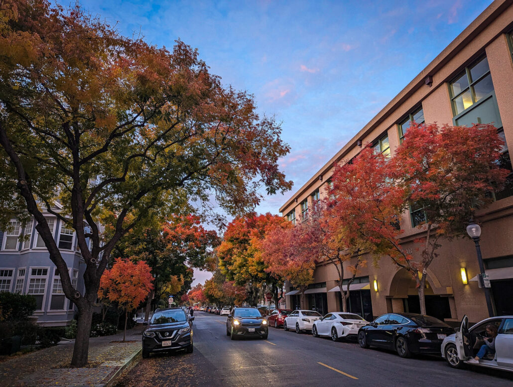
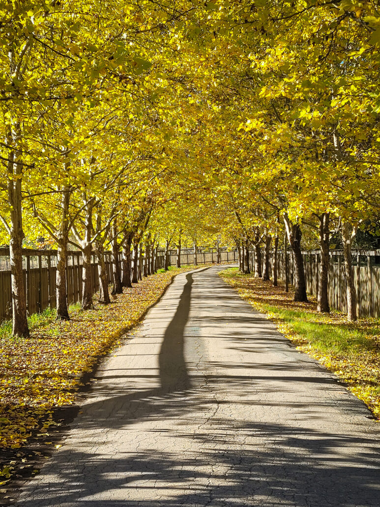
Bay Area Beauty
November 19, 2022
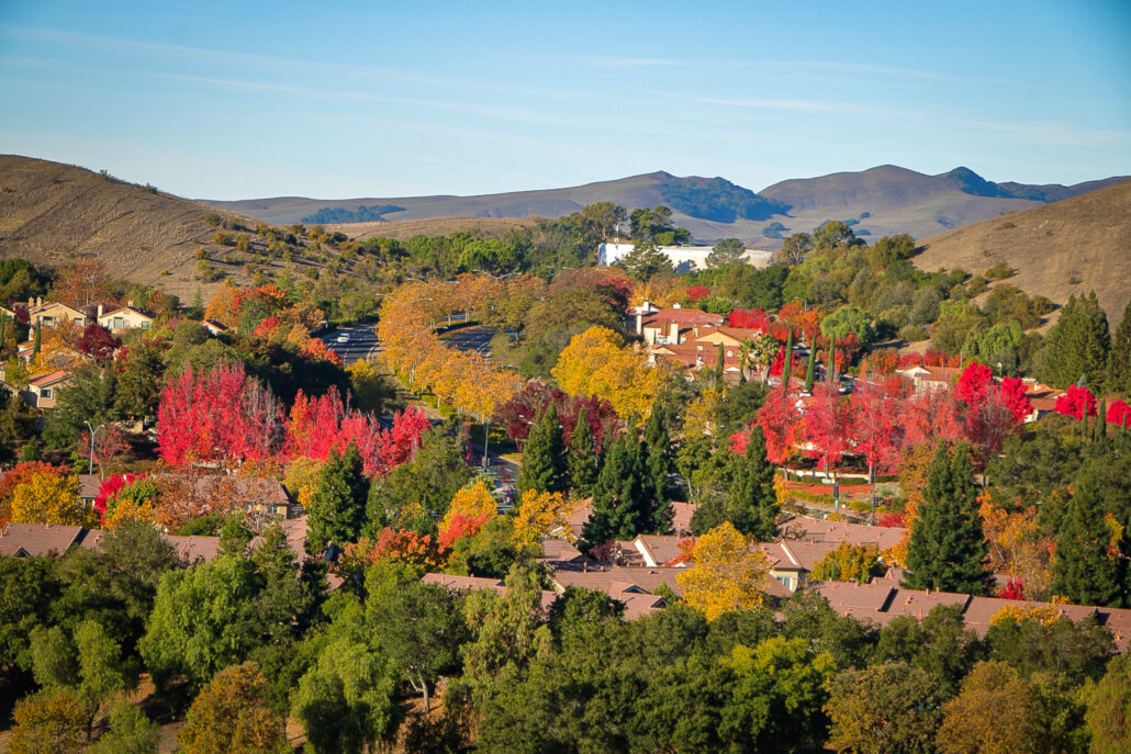
Rapid Change Down South
November 19, 2022
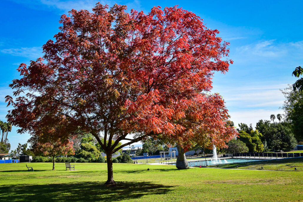
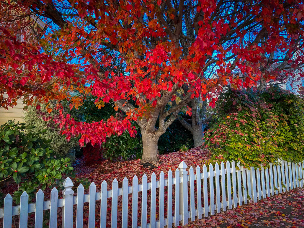
Red Hot
November 18, 2022
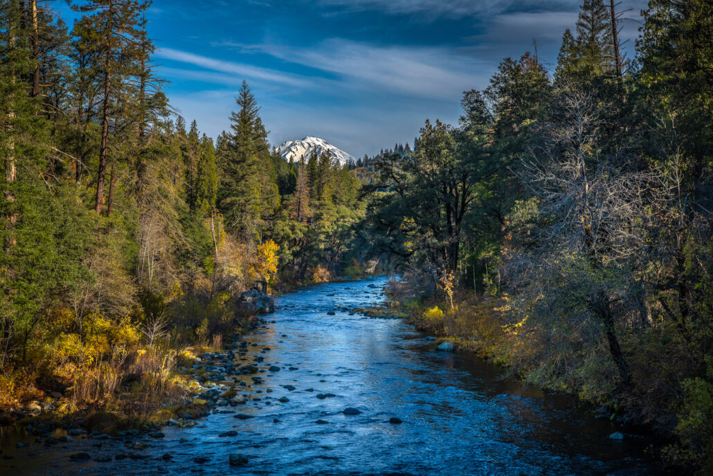
Faithful to the End
November 18, 2022
Mixed Results
November 14, 2022
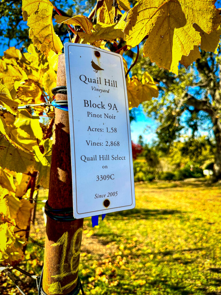
Uncorked Sonoma County
November 14, 2022
Return to Sunny Brae
November 14, 2022
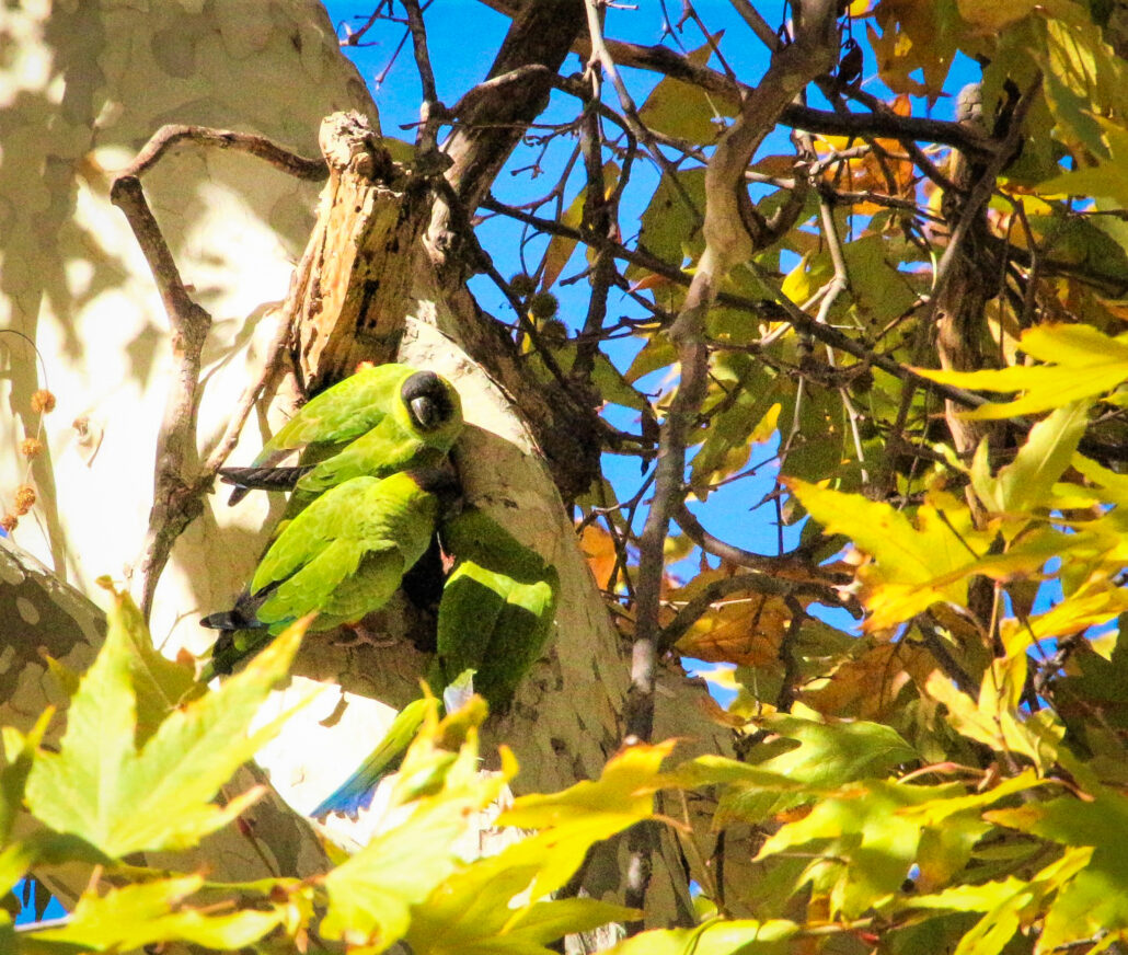
Avian Camouflage
November 13, 2022
Eponymous Trail
Older posts
Newer posts
←
Previous
Page
1
…
Page
51
Page
52
Page
53
…
Page
220
Next
→
Posts
Map
Trip Planning
Submit a Report
About
About Us
What They’re Saying
Contact
Close
Search for: