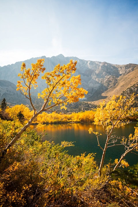
Aerial color spotter Titus Davis flew his Phantom 4 Pro drone at points between Carson and Monitor Passes (CA-88 and CA-89) to create this video.
Here’s a rundown of where he flew:
- :00 – Silver Lake Latitude: 38°39’54.90″N Longitude: 120° 7’13.94″W
- :52 – East Fork Carson River 38°40’33.38″N 119°44’12.25″W
- 1:37 – Hope Valley Latitude: 38°44’58.72″N Longitude: 119°56’11.51″W
- 3:34 – Monitor Pass Latitude: 38°40’30.87″N Longitude: 119°37’21.42″W
The drone provides perspectives not seen previously. Titus’ video of Silver Lake has the best closeup view we’ve seen of the copses of color on the far side of the lake, as they’re difficult to photograph other than from the water.
Similarly, while the color along the E. Fork of the Carson River can be seen from Hwys 4 and 89, only part of it is visible. Whereas the drone gives us a bird’s-eye view of the color.
The same is true of the breadth of color atop Monitor Pass, which is not really realized until seen higher than the trees, as shown by the drone.


